Folio 01 · Cities
Major Syrian cities & provinces.
From the Mediterranean coast to the Euphrates valley, thirteen cities chart the geography and civilisations of Syria across ten thousand years.
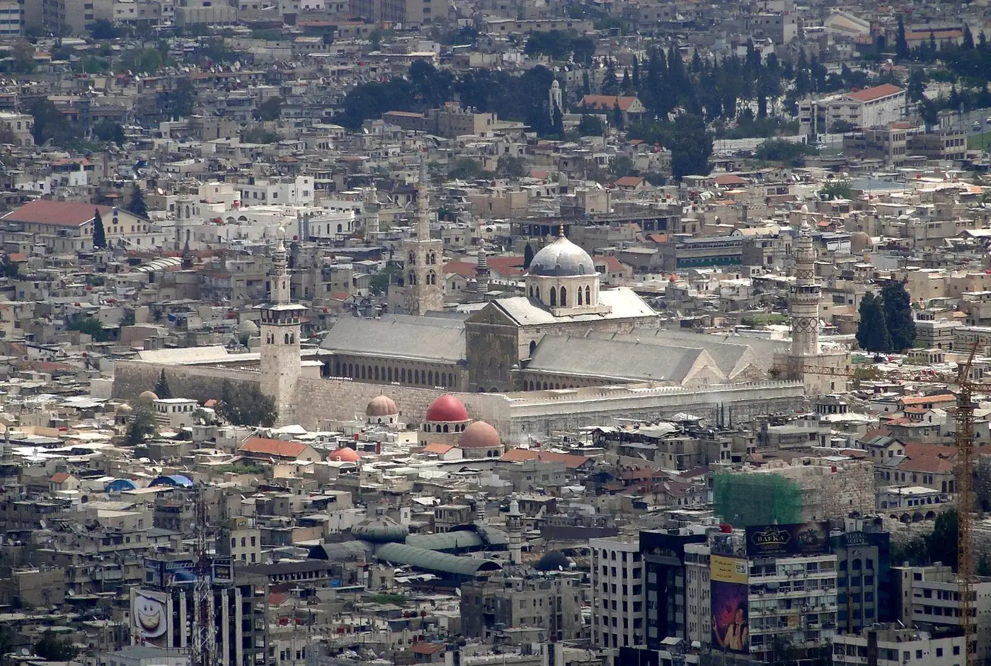
Dalil / 01 · Damascus Governorate
Damascus
The world's oldest continuously inhabited capital
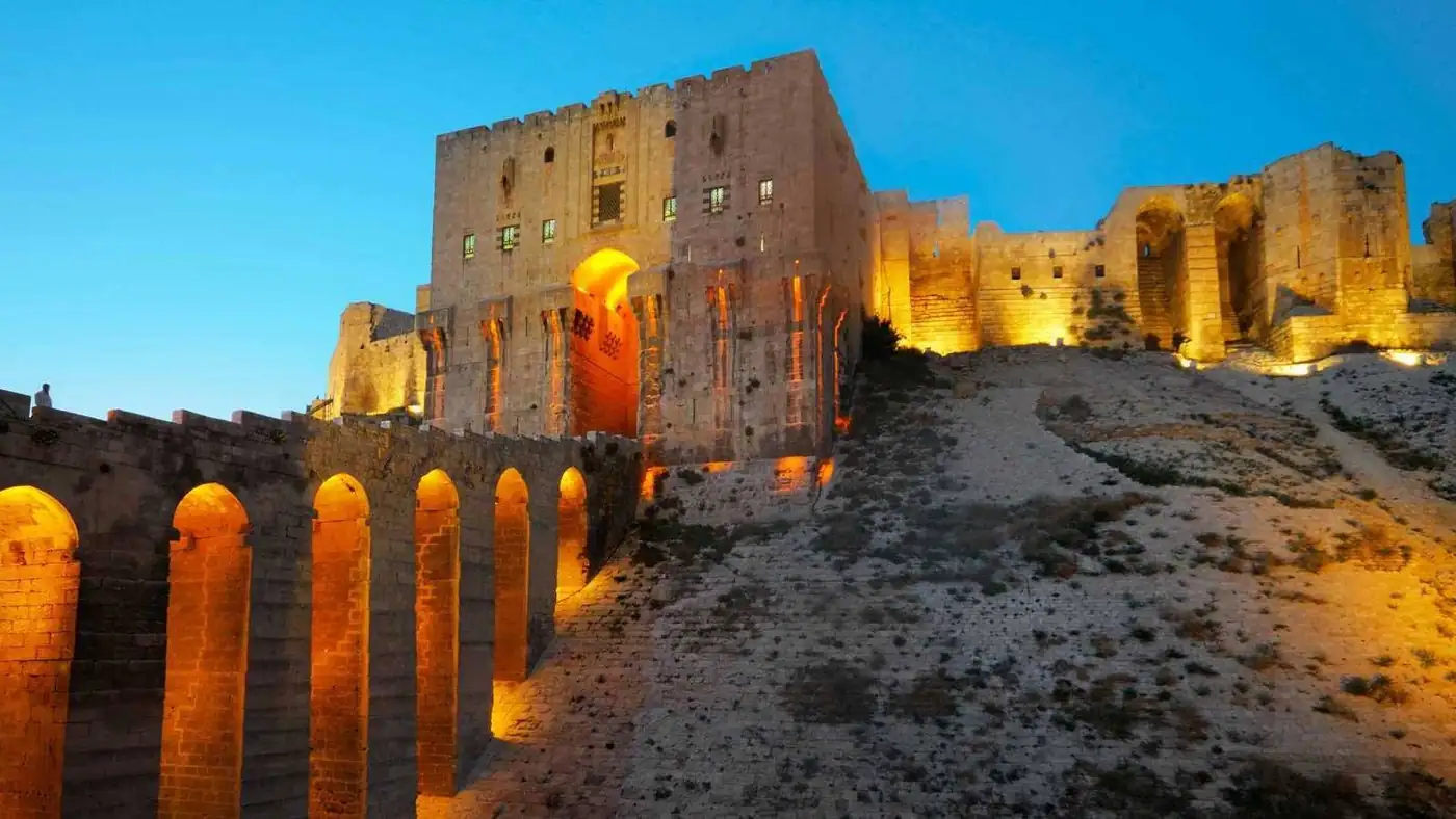
Dalil / 02 · Aleppo Governorate
Aleppo
City of the citadel, soap, and silk-road souqs
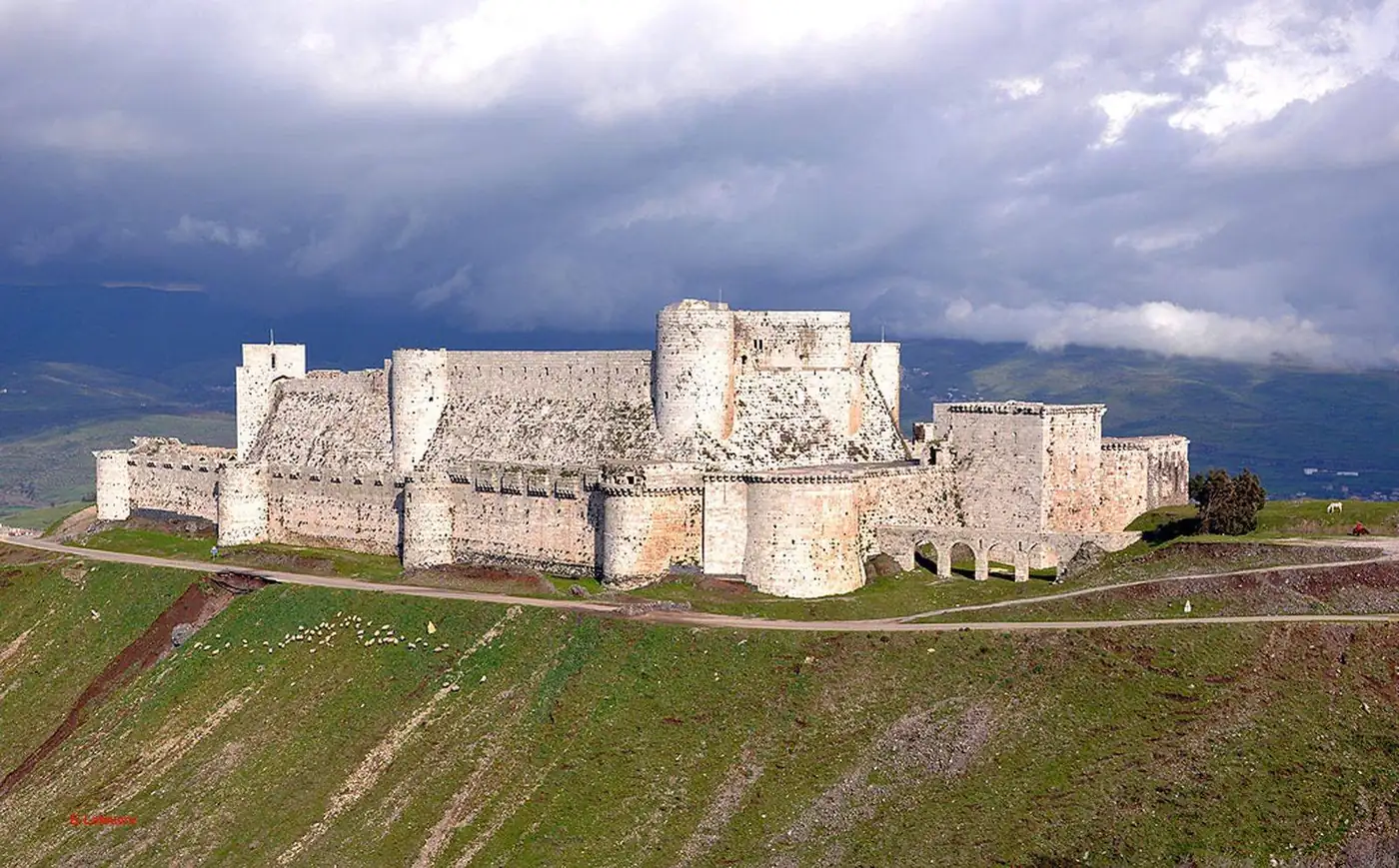
Dalil / 03 · Homs Governorate
Homs
Ancient Emesa — gateway between coast and desert
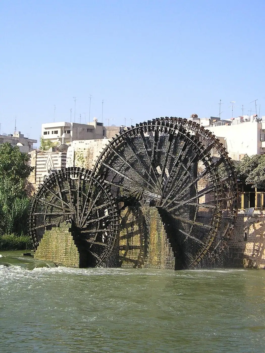
Dalil / 04 · Hama Governorate
Hama
City of the wooden norias on the Orontes
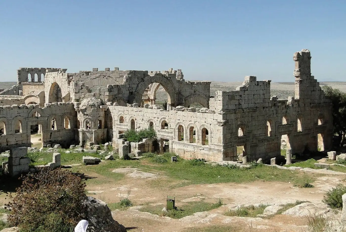
Dalil / 05 · Idlib Governorate
Idlib
Gateway to the Dead Cities of Northern Syria
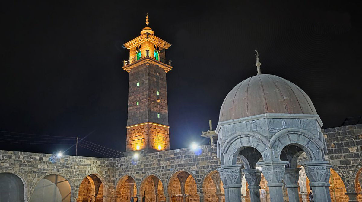
Dalil / 06 · Daraa Governorate
Daraa
Granary of the Hauran on the road to Mecca
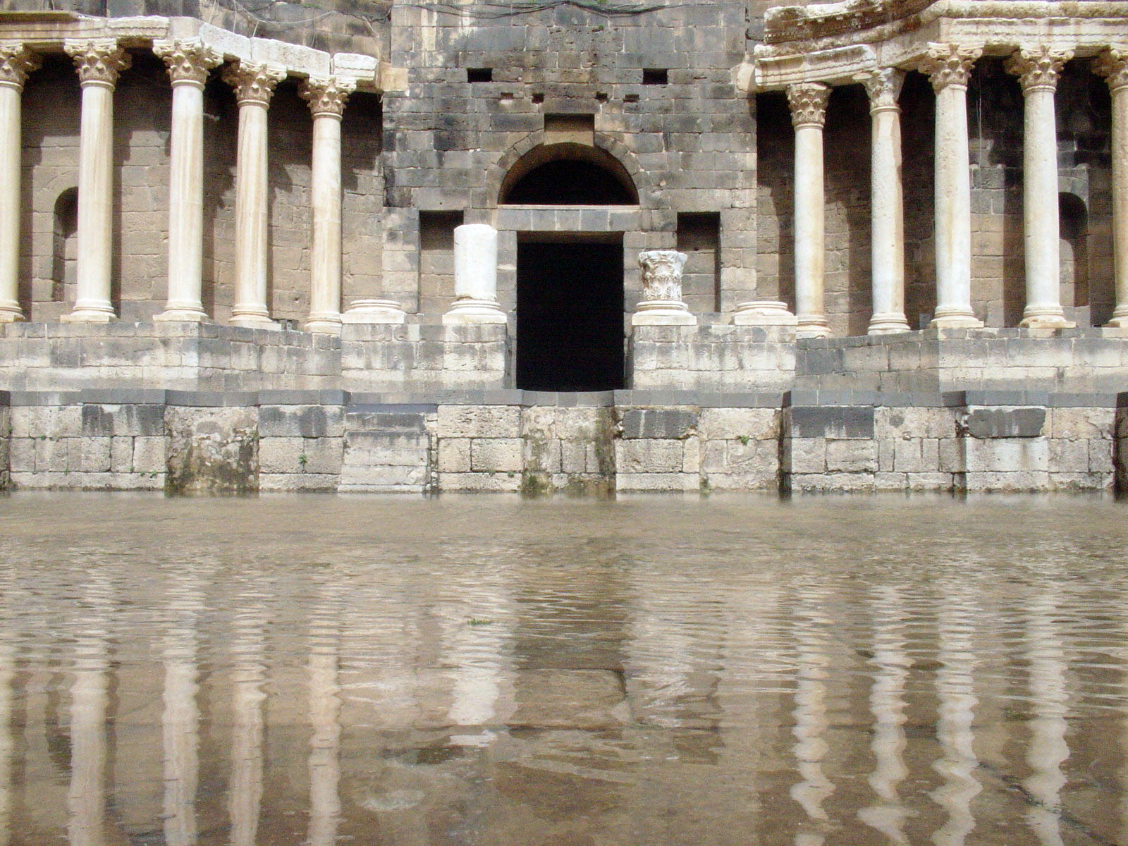
Dalil / 07 · Daraa Governorate
Bosra
Black basalt capital of Roman Arabia
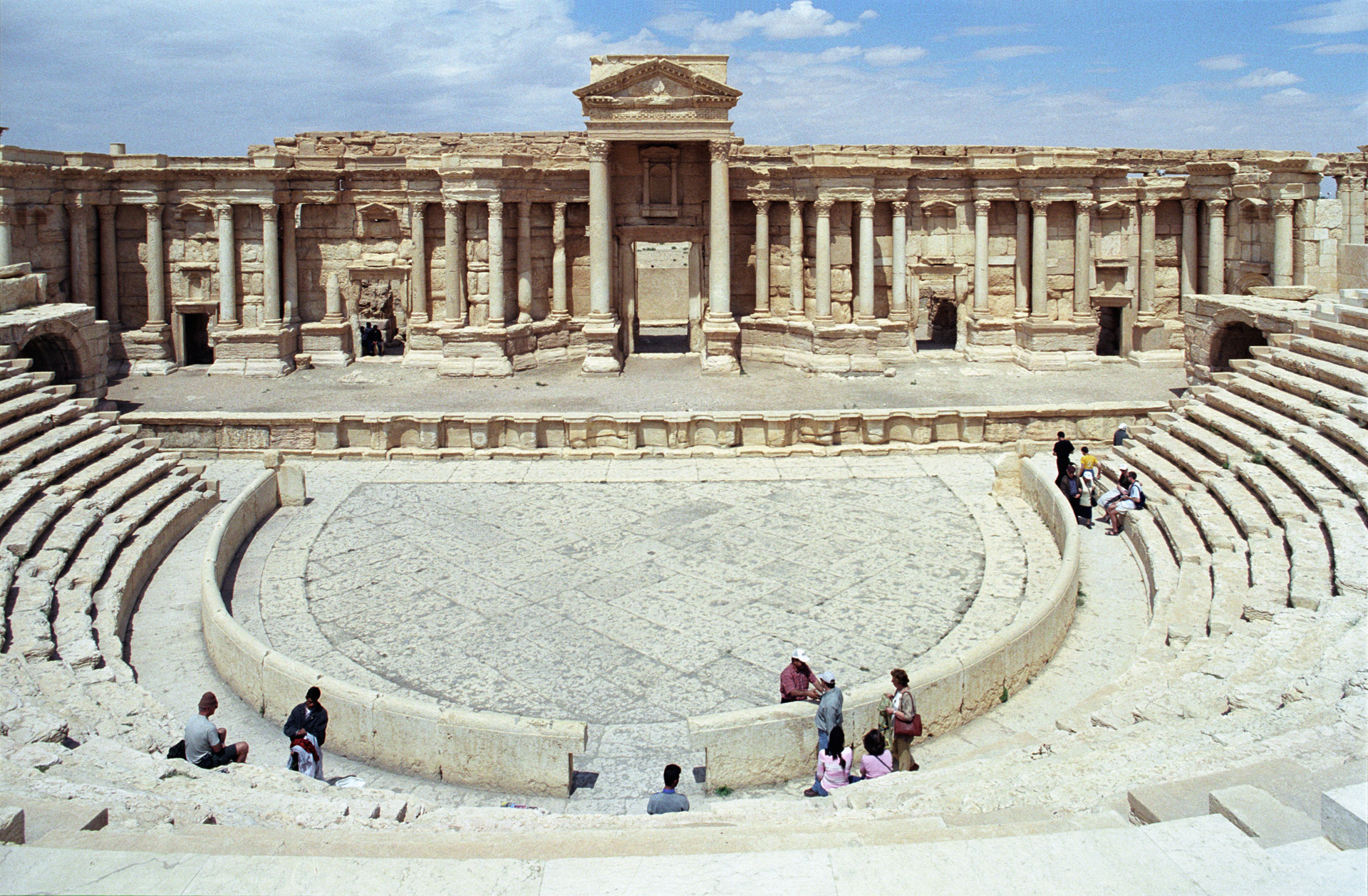
Dalil / 08 · Homs Governorate
Palmyra
Pearl of the desert, oasis of caravans
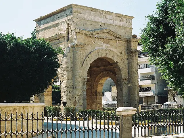
Dalil / 09 · Latakia Governorate
Latakia
Syria's principal Mediterranean port
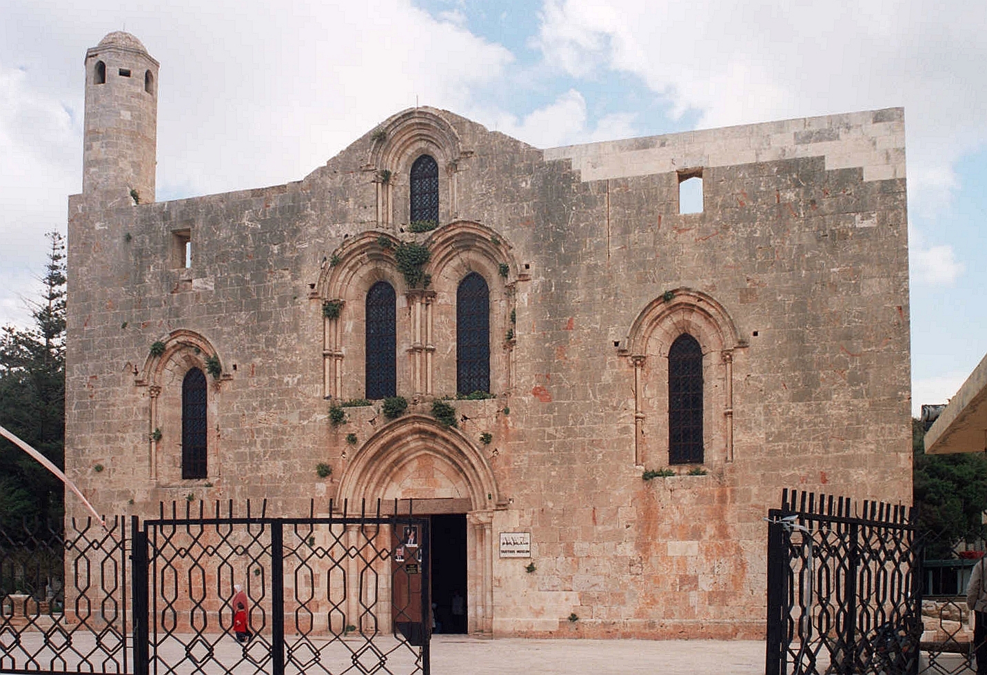
Dalil / 10 · Tartus Governorate
Tartus
Crusader Tortosa on the Phoenician coast
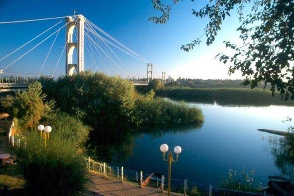
Dalil / 11 · Deir ez-Zor Governorate
Deir ez-Zor
Syria's Euphrates city
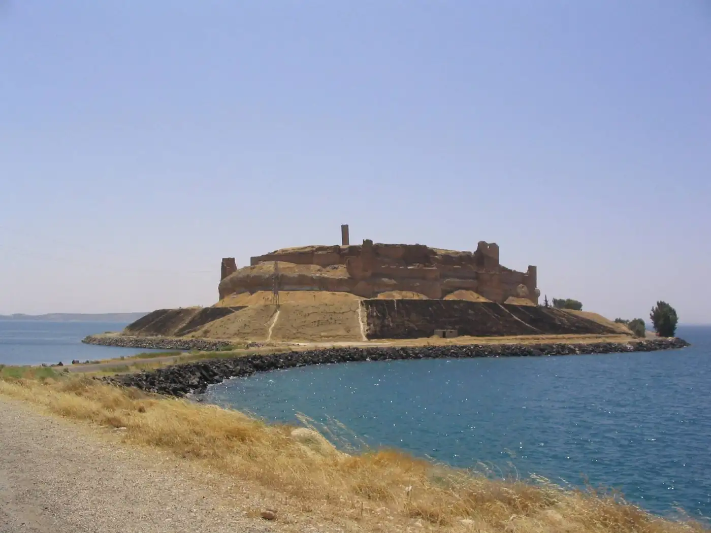
Dalil / 12 · Ar-Raqqa Governorate
Raqqa
Once an Abbasid imperial capital
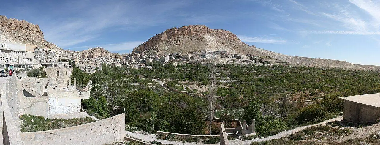
Dalil / 13 · Rif Dimashq Governorate
Maaloula
The cliff village where Aramaic is still spoken
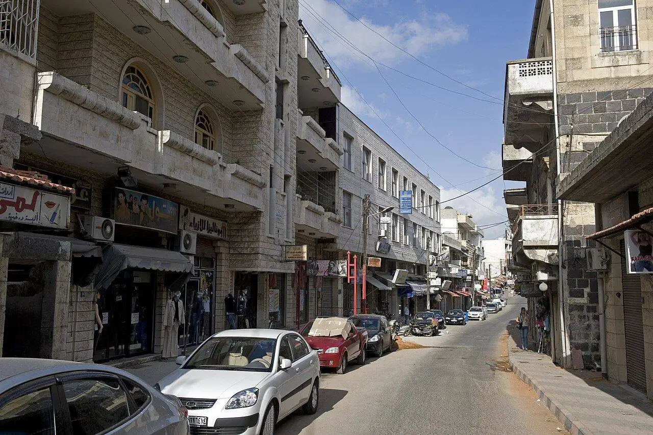
Dalil / 14 · Tartus Governorate
Safita
A white Crusader tower above green coastal hills
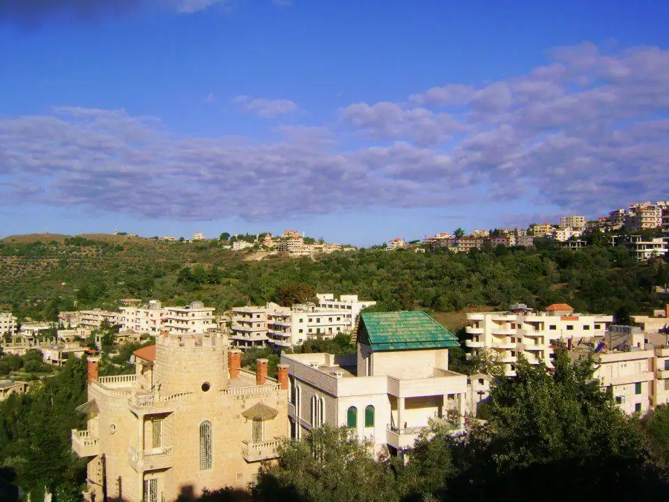
Dalil / 15 · Homs Governorate
Marmarita
The summer heart of the Valley of the Christians
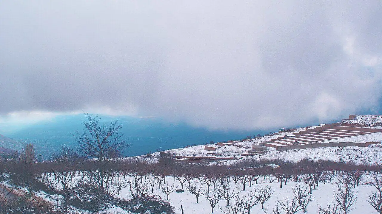
Dalil / 16 · Rif Dimashq Governorate
Bloudan
Damascus's mountain balcony at 1,500 metres
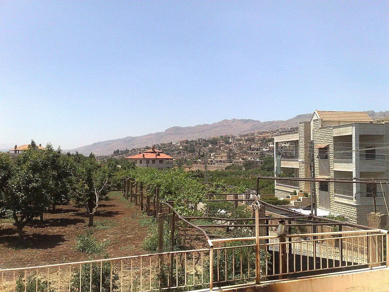
Dalil / 17 · Rif Dimashq Governorate
Zabadani
Spring-fed valley town at the source of the Barada
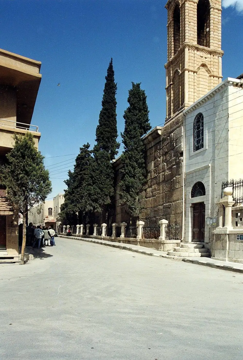
Dalil / 18 · Rif Dimashq Governorate
Yabroud
A temple of Zeus turned cathedral in the Qalamoun
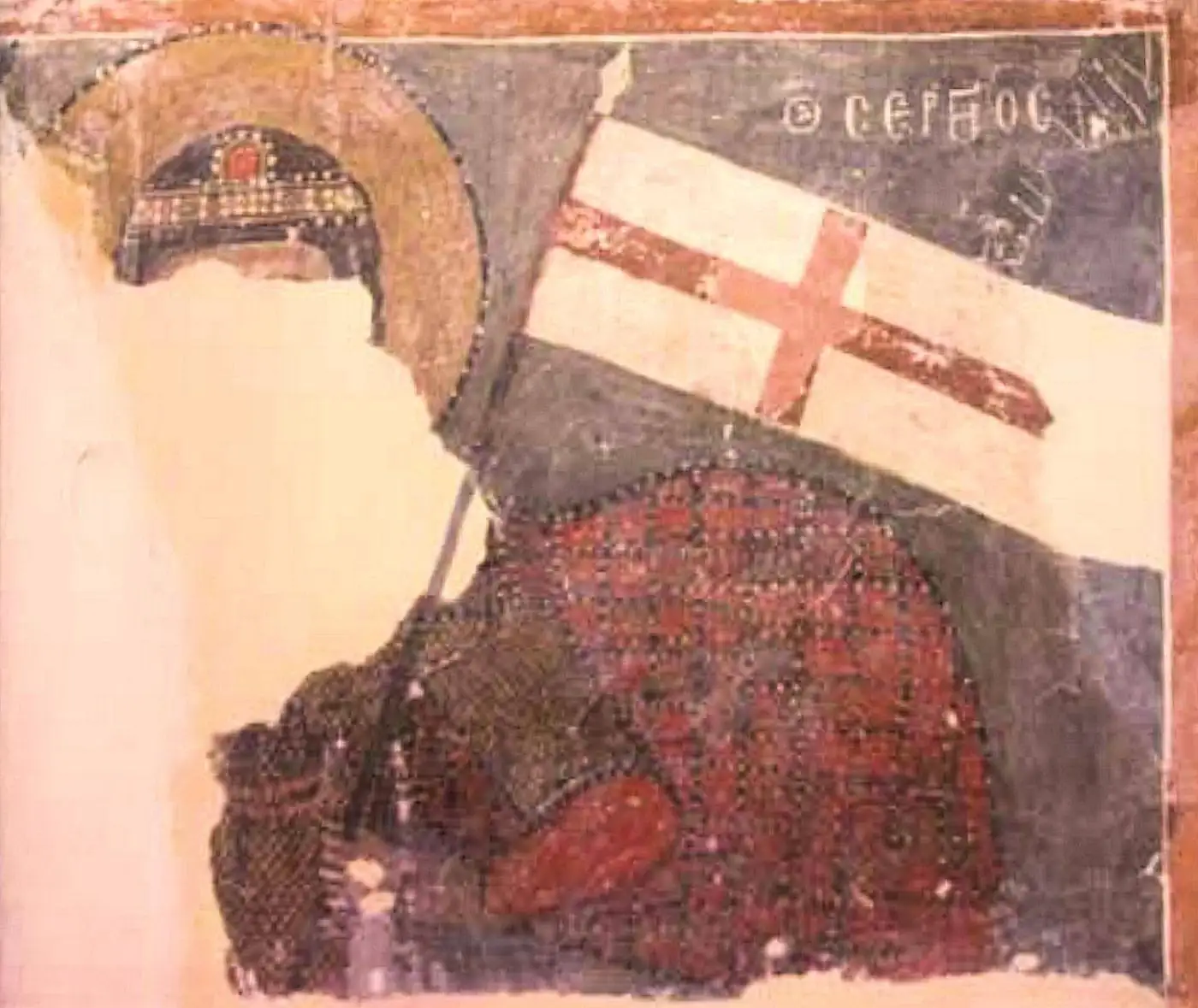
Dalil / 19 · Rif Dimashq Governorate
Qara
Medieval frescoes on the desert-edge highway
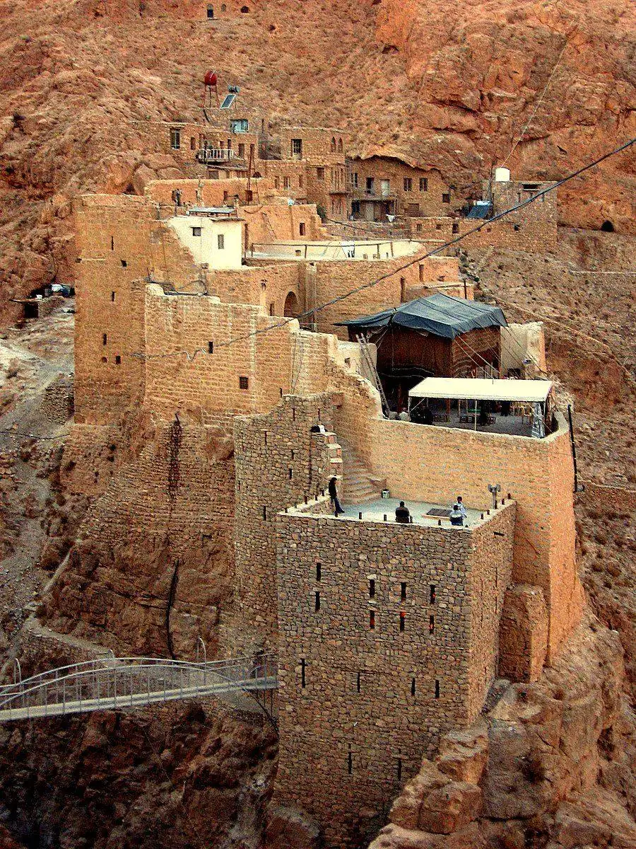
Dalil / 20 · Rif Dimashq Governorate
Al-Nabk
Gateway to the desert monastery of Mar Musa
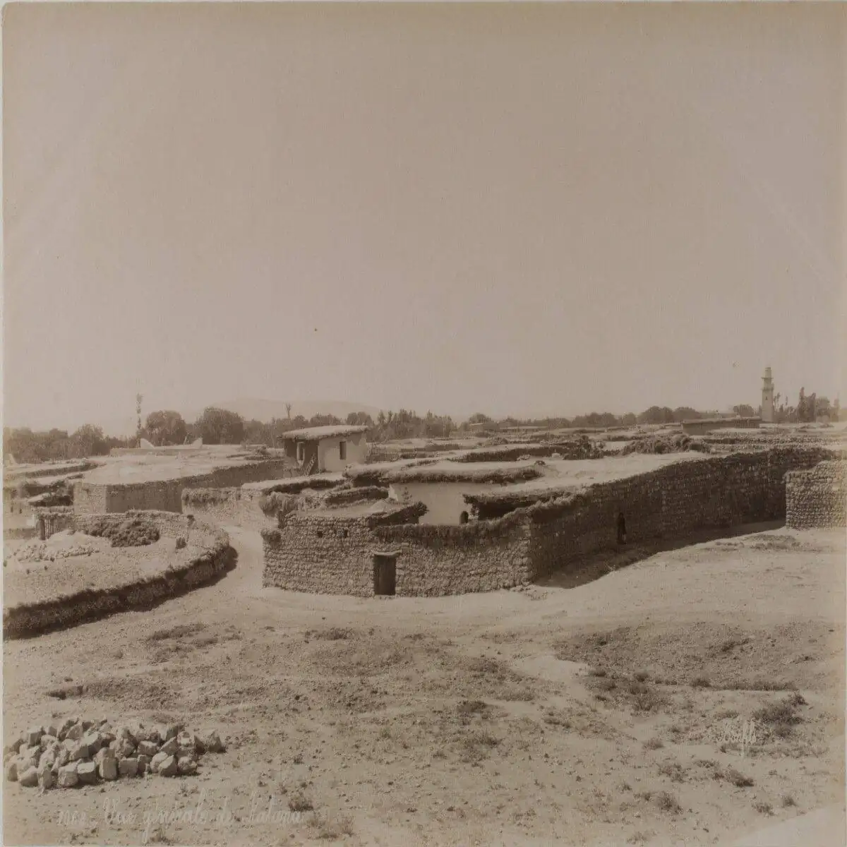
Dalil / 21 · Rif Dimashq Governorate
Qatana
Orchard town under the shadow of Mount Hermon
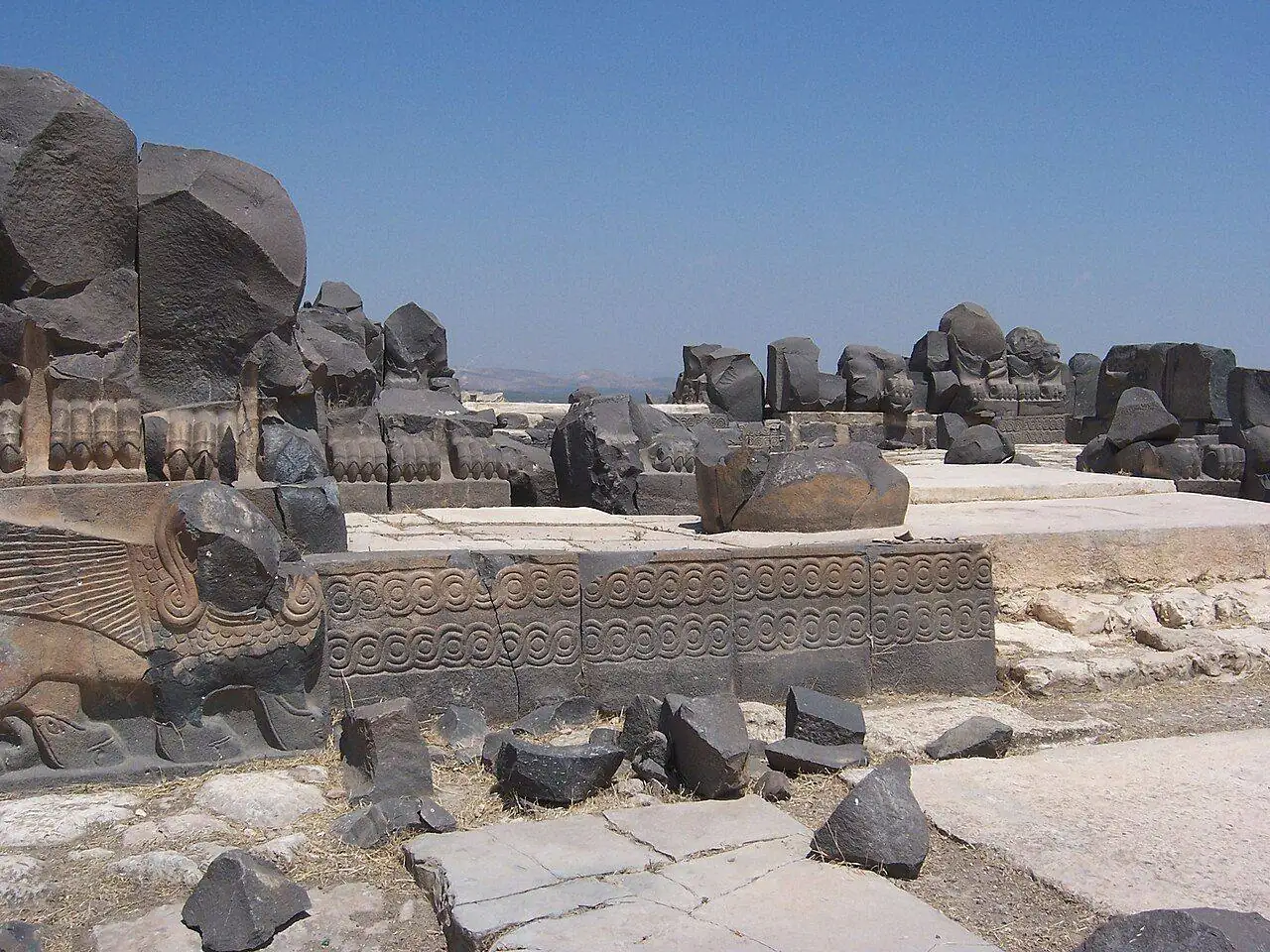
Dalil / 22 · Aleppo Governorate
Afrin
Olive country and the Iron Age temple of Ain Dara
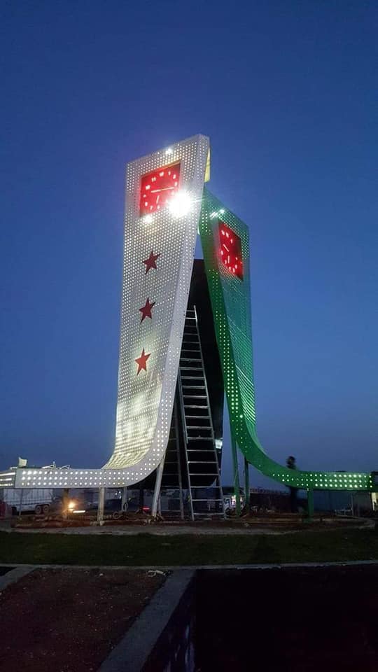
Dalil / 23 · Aleppo Governorate
A'zaz
Crusader battlefield town on the northern border
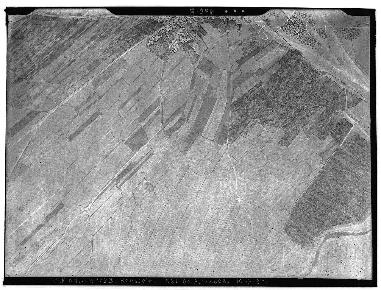
Dalil / 24 · Homs Governorate
Al-Qusayr
Farming town between Homs and the Lebanese border
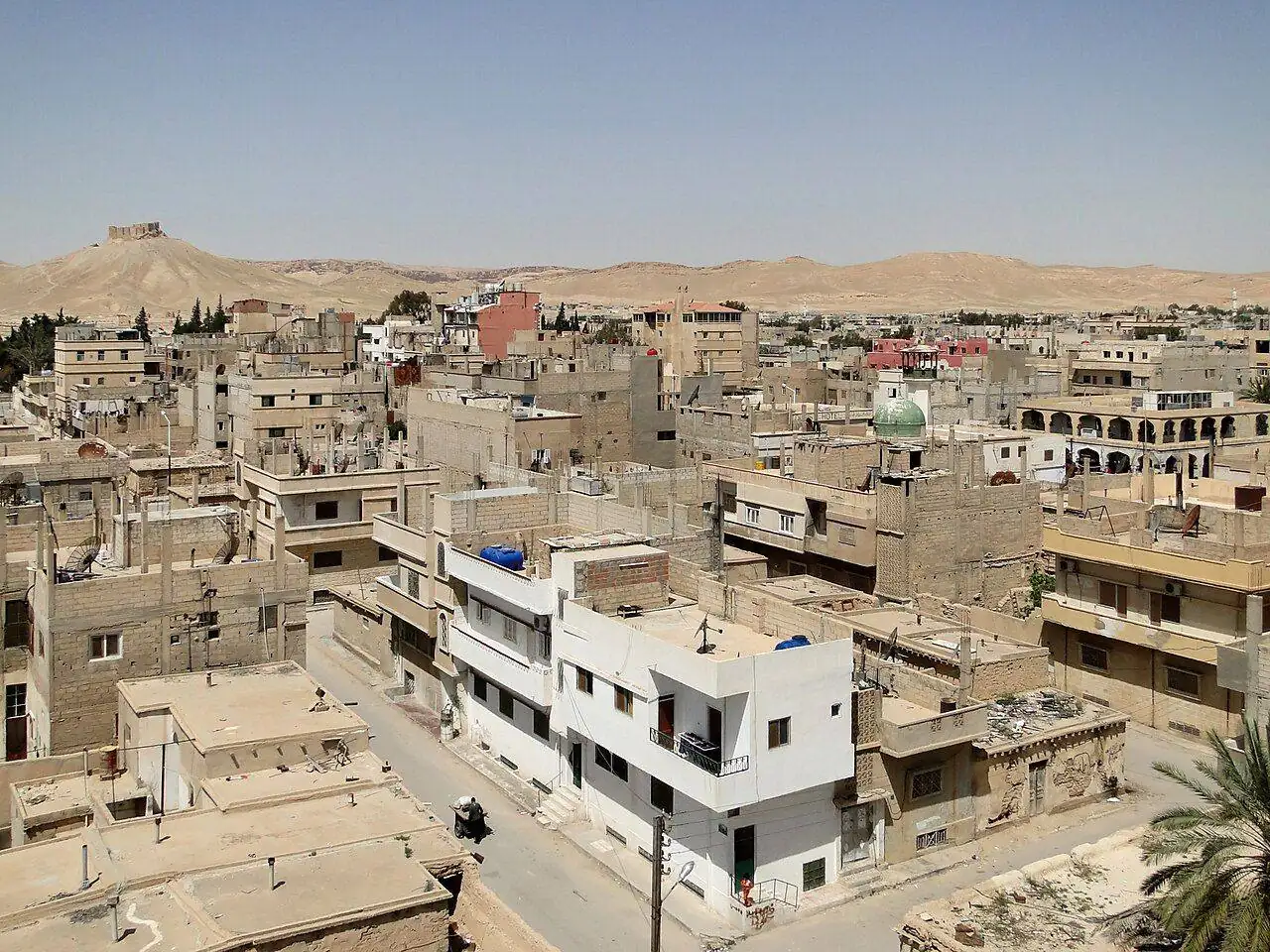
Dalil / 25 · Homs Governorate
Tadmur (Palmyra Town)
The modern oasis town beside the ancient city

Dalil / 26 · Latakia Governorate
Burj Islam
Latakia's northern beach village of open sand and pine ridges

Dalil / 27 · Latakia Governorate
Salib al-Turkman
Quiet coves and clear water between Latakia and Burj Islam
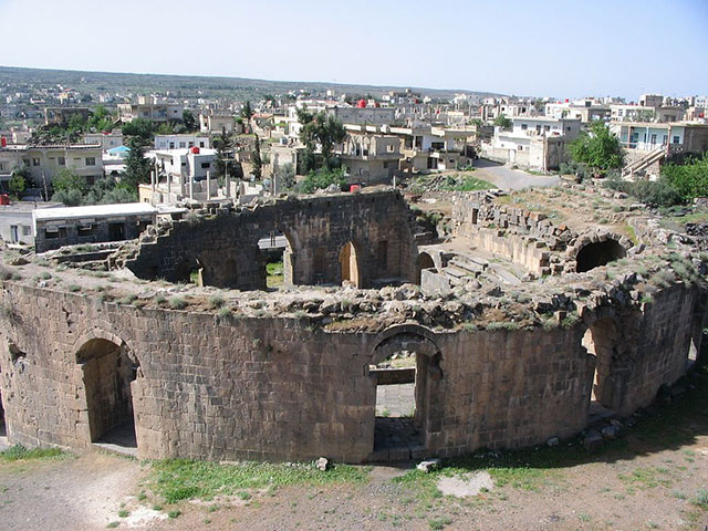
Dalil / 28 · As-Suwayda Governorate
Shahba
The black basalt Roman city of Philippopolis, built by an Arab emperor