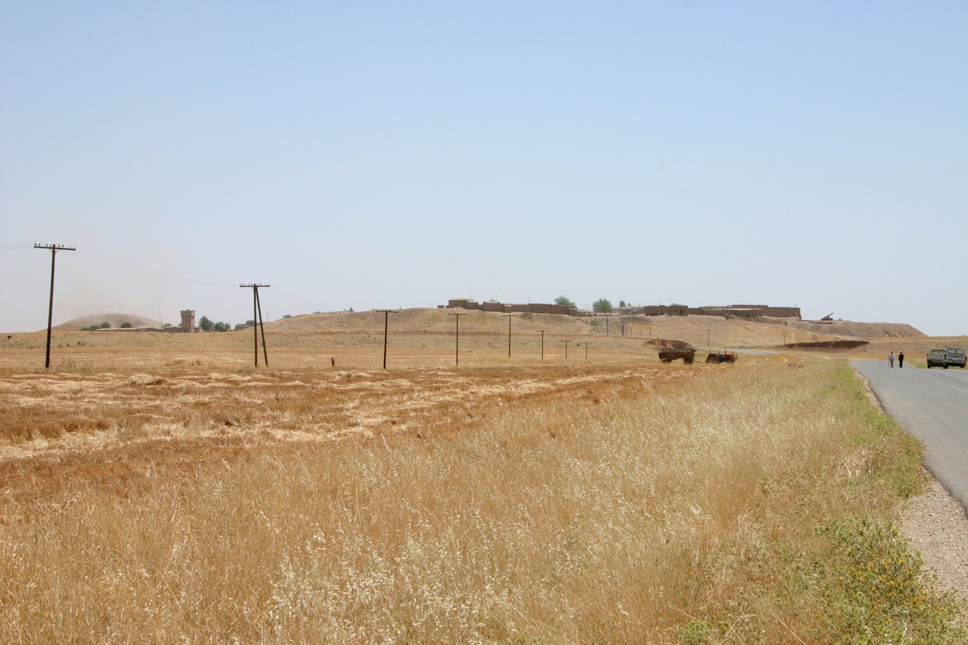
Archaeological · Al-Hasakah Governorate
Tell Leilan (Shubat-Enlil)
تل ليلان (شُبَت إنليل)
36.9572° N · 41.5053° EHistoric site photograph; not a current-condition report · Zoeperkoe / Wikimedia Commons · CC BY-SA 3.0
“City walls, palace archives and a regional capital.”
- Category
- Archaeological
- Era
- Bronze Age, 3rd–2nd millennia BCE
- Location
- Al-Hasakah Governorate
- UNESCO
- Not inscribed
Overview
Tell Leilan stands in the Upper Khabur plain of Al-Hasakah. Known in ancient sources as Shekhna, it was renamed Shubat-Enlil when Shamshi-Adad made it a capital in the early second millennium BCE. Excavations by the Yale project documented city walls, monumental buildings and palace archives. These remains illuminate administration, grain production and the rise and fragmentation of regional kingdoms. Its earlier third-millennium history also contributes to debates about settlement change and environmental stress; these complex processes should not be reduced to a single cause.
Significance
City walls, palace archives and a regional capital
Notable Features
- City walls, palace archives and a regional capital
Visitor Tips
- Confirm current access, permissions and safety locally before travelling. Photographs may show earlier conditions; do not enter unstable structures or excavation areas without permission.